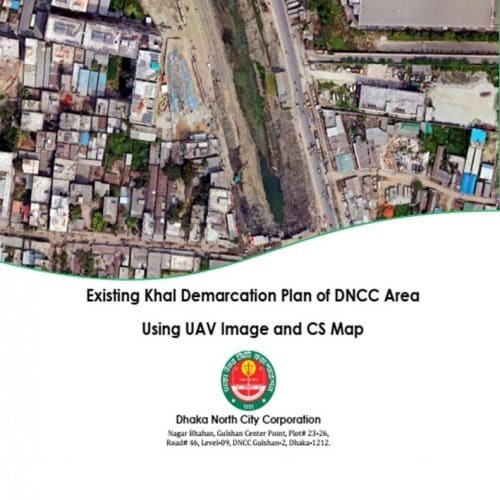
Project Description
Following activities will be done: - GIS Shapefile of Feature (Road, Structure, Waterbody); Mouza Map (CS) - AutoCAD layer file of Land Demarcation Plan with CS Mouza - Topo Map of the Survey Area - UAV Image of the Survey Area - Hard Copy of Land Demarcation Plan